
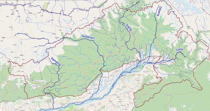
📷 Image: Wikimedia Commons / DescriptionArunachal Pradesh rivers and their basi
National
India Releases Updated Arunachal Pradesh Map Reflecting New Boundaries
✍️ Outlook India
🗓 09 Aug 2026, 08:34 PM
👁 6
The Indian government has issued a revised map of Arunachal Pradesh, incorporating recent changes to district boundaries and border lines.
The Ministry of Home Affairs has released an updated map of Arunachal Pradesh, reflecting recent administrative adjustments within the state. The revised map shows alterations to district boundaries and updated border delineations as per the latest government orders. These changes aim to improve clarity in governance and aid in better resource allocation across the region. The updated map is now available for public reference and will be used in official documents and planning processes.