
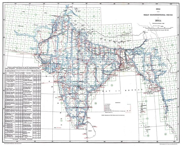
📷 Image: Wikimedia Commons / Survey of India, Government of India
National
Government officially marks 28 sites in Ladakh on Survey of India maps
✍️ TheWire.in
🗓 02 Oct 2026, 08:16 PM
👁 15
The Union government has formally designated 28 locations in Ladakh on the latest Survey of India maps, confirming their official status.
Newly released Survey of India maps now show 28 distinct locations in the Union Territory of Ladakh that have been officially named by the central government. The announcement, made through a government circular, confirms that these sites will appear with their approved names in all future cartographic products.
The move is intended to provide uniformity across administrative, defence and development agencies that rely on accurate geographic data. By standardising the names, authorities hope to reduce confusion in land records, disaster response and infrastructure planning.
The 28 entries include a mix of villages, mountain passes and other strategic points that have long featured in local usage but lacked formal recognition. Their inclusion follows a series of map‑updating exercises undertaken after recent border tensions in the region.
Officials indicated that the revised maps will be distributed to state and central departments, as well as to the public through the Survey of India’s online portal, ensuring that the updated nomenclature is widely accessible.
The naming exercise underscores the government's broader effort to modernise geographic information systems across the country, aligning official records with ground realities.
The move is intended to provide uniformity across administrative, defence and development agencies that rely on accurate geographic data. By standardising the names, authorities hope to reduce confusion in land records, disaster response and infrastructure planning.
The 28 entries include a mix of villages, mountain passes and other strategic points that have long featured in local usage but lacked formal recognition. Their inclusion follows a series of map‑updating exercises undertaken after recent border tensions in the region.
Officials indicated that the revised maps will be distributed to state and central departments, as well as to the public through the Survey of India’s online portal, ensuring that the updated nomenclature is widely accessible.
The naming exercise underscores the government's broader effort to modernise geographic information systems across the country, aligning official records with ground realities.