
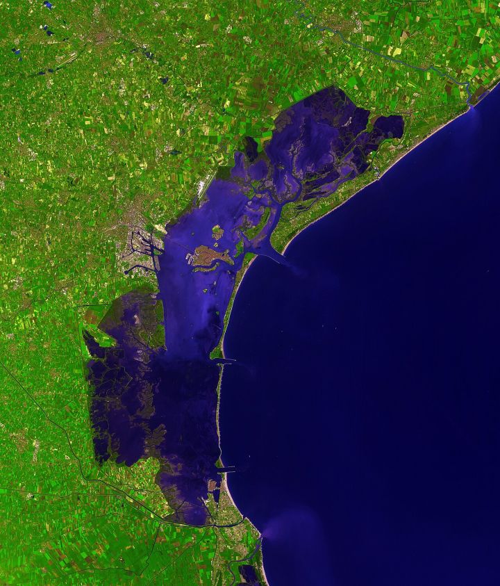
📷 Image: Wikimedia Commons / NASA/GSFC/MITI/ERSDAC/JAROS, and U.S./Japan ASTER
Science
Chhattisgarh Deploys Satellite Technology to Revive Dying Rivers
✍️ The Times of India
🗓 20 Aug 2026, 02:37 AM
👁 54
The Chhattisgarh government is leveraging satellite data and scientific tools to monitor and restore its deteriorating river systems.
The state of Chhattisgarh announced a new initiative that will use satellite imagery and remote‑sensing technology to assess the health of its river basins. Officials say the approach will enable real‑time tracking of water flow, sediment load and pollution levels, providing a scientific basis for targeted rejuvenation measures.
Under the program, data from Indian space agencies will be integrated with ground‑level surveys to map erosion, encroachments and illegal sand mining. The resulting maps are expected to guide interventions such as afforestation, check‑dam construction and regulated water releases.
State officials highlighted that the science‑driven strategy aims to complement existing community‑based efforts, ensuring that restoration projects are both effective and sustainable over the long term. The initiative reflects a broader shift toward data‑centric environmental management across Indian states.
The project is slated to begin with pilot studies on the Mahanadi and its tributaries, with periodic reviews planned to refine the methodology based on early results.
Stakeholders, including local NGOs and agricultural cooperatives, have welcomed the move, noting that accurate river data can help mitigate flood risks and improve irrigation reliability for farmers.
Under the program, data from Indian space agencies will be integrated with ground‑level surveys to map erosion, encroachments and illegal sand mining. The resulting maps are expected to guide interventions such as afforestation, check‑dam construction and regulated water releases.
State officials highlighted that the science‑driven strategy aims to complement existing community‑based efforts, ensuring that restoration projects are both effective and sustainable over the long term. The initiative reflects a broader shift toward data‑centric environmental management across Indian states.
The project is slated to begin with pilot studies on the Mahanadi and its tributaries, with periodic reviews planned to refine the methodology based on early results.
Stakeholders, including local NGOs and agricultural cooperatives, have welcomed the move, noting that accurate river data can help mitigate flood risks and improve irrigation reliability for farmers.