
📷 Image: Wikimedia Commons / Ashishgavit647
Weather
Ukai Dam Water Level Falls 4.30 Feet Below Last Year, 100% Capacity Unattained After 7 Years
✍️ Bhaskar English
🗓 21 Sep 2026, 11:32 AM
👁 16
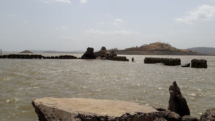
The Ukai Dam reservoir in Gujarat recorded a water level 4.30 feet lower than the previous year, falling short of its full capacity for the seventh consecutive year.
The Ukai Dam, situated on the Tapi River near Ukai in Gujarat, is a key source of irrigation water and hydroelectric power for the region.
Recent measurements show that the reservoir’s water level is 4.30 feet below the level recorded last year, and it has not reached its 100% capacity for the seventh year in a row.
The shortfall is expected to affect downstream irrigation schedules and could reduce the power output of the 60 MW Ukai hydroelectric plant.
Gujarat’s water resources department has urged farmers to adopt water‑saving practices and is monitoring rainfall patterns to anticipate any changes in the reservoir’s status.
Recent measurements show that the reservoir’s water level is 4.30 feet below the level recorded last year, and it has not reached its 100% capacity for the seventh year in a row.
The shortfall is expected to affect downstream irrigation schedules and could reduce the power output of the 60 MW Ukai hydroelectric plant.
Gujarat’s water resources department has urged farmers to adopt water‑saving practices and is monitoring rainfall patterns to anticipate any changes in the reservoir’s status.