
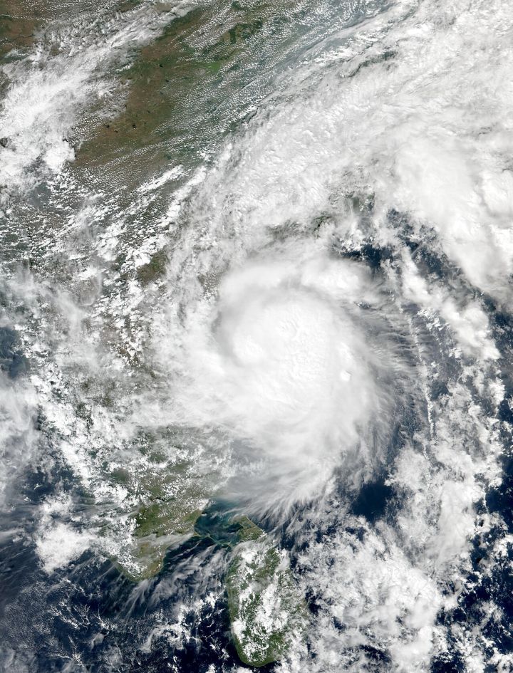
📷 Image: Wikimedia Commons / VIIRS Imagery from NOAA’s Suomi-NPP Satellite
Weather
Cyclone Murasu Set to Strike Andhra Pradesh Coast on Nov 3
✍️ News On AIR
🗓 04 Nov 2026, 08:02 PM
👁 13
The Indian Meteorological Department has named the developing tropical cyclone Murasu, which is expected to make landfall along the Andhra Pradesh coastline on November 3.
The Indian Meteorological Department (IMD) has officially named the tropical cyclone forming in the Bay of Bengal as "Murasu". The storm is projected to make landfall along the Andhra Pradesh coast on November 3, following the recent passage of Cyclone Arnab.
Murasu is expected to bring strong winds, heavy rainfall, and a surge in sea levels to coastal districts such as Visakhapatnam, Kakinada, and Rajahmundry. Local authorities have issued warnings and advised residents to secure property and seek higher ground if necessary.
The IMD has urged the public to stay updated through official channels and to follow evacuation orders if issued. Preparations include reinforcing embankments, clearing drainage systems, and setting up emergency shelters.
Meteorologists predict that the cyclone will intensify as it approaches the coast, potentially reaching Category 3 strength on the Saffir-Simpson scale. Officials are monitoring the storm’s trajectory closely to provide timely updates to the affected communities.
Murasu is expected to bring strong winds, heavy rainfall, and a surge in sea levels to coastal districts such as Visakhapatnam, Kakinada, and Rajahmundry. Local authorities have issued warnings and advised residents to secure property and seek higher ground if necessary.
The IMD has urged the public to stay updated through official channels and to follow evacuation orders if issued. Preparations include reinforcing embankments, clearing drainage systems, and setting up emergency shelters.
Meteorologists predict that the cyclone will intensify as it approaches the coast, potentially reaching Category 3 strength on the Saffir-Simpson scale. Officials are monitoring the storm’s trajectory closely to provide timely updates to the affected communities.