
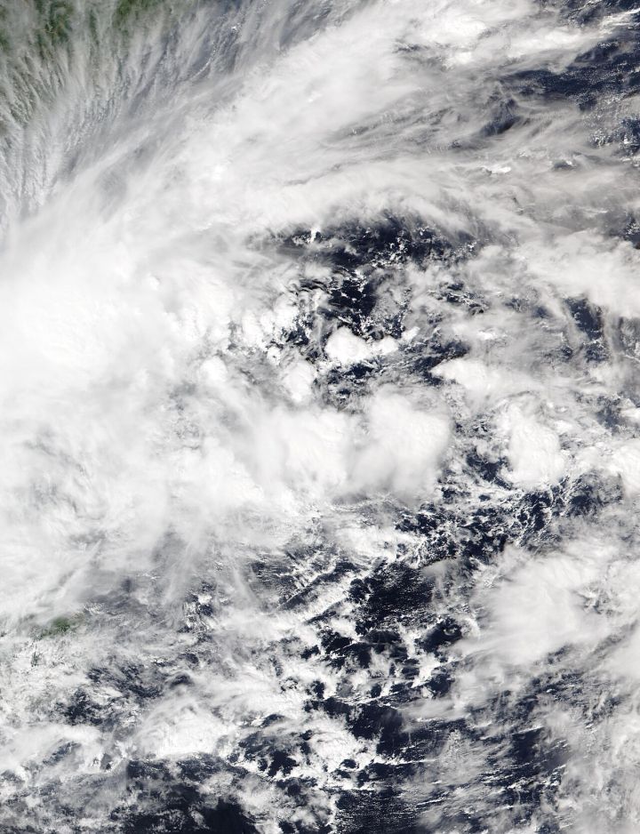
📷 Image: Wikimedia Commons / VIIRS Imagery from NOAA’s NOAA-20 Satellite
Weather
Cyclone Akvan Approaches Andhra Pradesh and Odisha, Authorities Issue Warnings
✍️ Udaipur Kiran
🗓 19 Nov 2026, 01:36 PM
👁 22
Cyclone Akvan is moving northward along the east coast, prompting the Indian Meteorological Department to issue high‑alert warnings for Andhra Pradesh and Odisha as heavy rains and strong winds are expected.
The Indian Meteorological Department (IMD) has classified Cyclone Akvan as a severe cyclonic storm as it tracks northward across the Bay of Bengal on November 19, 2026. Forecast models indicate that the system will make landfall along the coasts of Andhra Pradesh and Odisha within the next 24 hours, bringing sustained winds exceeding 120 km/h and intense rainfall.
State disaster management agencies in both Andhra Pradesh and Odisha have activated emergency response plans, positioning rescue teams, pre‑positioning relief supplies, and urging residents in low‑lying and coastal districts to relocate to safer areas. Power utilities have been instructed to brace the grid for possible outages, and schools and public offices in vulnerable zones have been temporarily closed.
The IMD has raised the cyclone warning to the highest level for the affected districts, advising fishermen to remain ashore and transport operators to suspend services. Authorities are closely monitoring river levels, as the heavy precipitation could trigger flash floods and landslides in hilly terrain.
Residents are being updated through television, radio, and mobile alerts, with officials emphasizing the need for personal preparedness, including securing loose objects, stocking essential supplies, and following evacuation orders promptly.
The situation remains fluid, and further updates will be provided as the cyclone approaches the coastline.
State disaster management agencies in both Andhra Pradesh and Odisha have activated emergency response plans, positioning rescue teams, pre‑positioning relief supplies, and urging residents in low‑lying and coastal districts to relocate to safer areas. Power utilities have been instructed to brace the grid for possible outages, and schools and public offices in vulnerable zones have been temporarily closed.
The IMD has raised the cyclone warning to the highest level for the affected districts, advising fishermen to remain ashore and transport operators to suspend services. Authorities are closely monitoring river levels, as the heavy precipitation could trigger flash floods and landslides in hilly terrain.
Residents are being updated through television, radio, and mobile alerts, with officials emphasizing the need for personal preparedness, including securing loose objects, stocking essential supplies, and following evacuation orders promptly.
The situation remains fluid, and further updates will be provided as the cyclone approaches the coastline.