
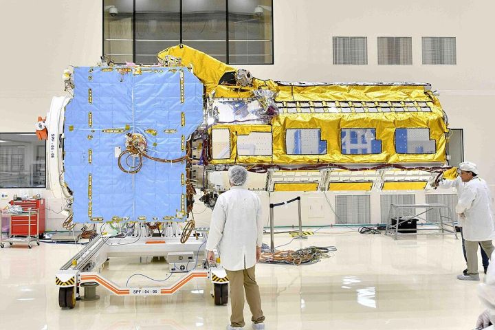
📷 Image: Wikimedia Commons / NASA / JPL
Science
India’s Navigation Constellation Grows to Four Satellites, ISRO Chief Announces
✍️ Telangana Today
🗓 01 Nov 2026, 06:52 AM
👁 15
ISRO chief announced that India’s regional navigation system now comprises four operational satellites, enhancing positioning services across the country.
New Delhi – The head of the Indian Space Research Organisation (ISRO) confirmed that the nation’s regional navigation network, commonly known as NAVIC or IRNSS, now operates four satellites in orbit. The addition brings the constellation closer to its design goal of providing uninterrupted positioning, navigation and timing services over the Indian sub‑continent and surrounding regions.
The fourth satellite, placed in a geostationary orbit, joins three earlier assets that have been delivering location data for civilian and defense applications since the system’s rollout. With each new satellite, the network’s redundancy and accuracy improve, reducing signal gaps and enhancing reliability for users ranging from mobile phone users to maritime vessels.
ISRO officials said the expanded fleet will support a broader range of services, including precise timing for financial transactions, improved navigation for transport and logistics, and better disaster‑response coordination. The agency continues to work on launching the remaining satellites needed to achieve full coverage as envisioned in the original project plan.
The announcement underscores India’s growing self‑reliance in space‑based navigation, positioning the country alongside global systems such as GPS, GLONASS and Galileo, while offering a region‑specific alternative free from foreign dependencies.