
📷 Image: Wikimedia Commons / Deepak Gupta
International
UN map ignites dispute over Arunachal and Aksai Chin borders
✍️ Deccan Chronicle
🗓 07 Sep 2026, 05:33 PM
👁 44
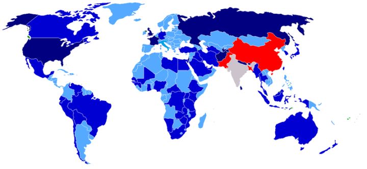
A United Nations map depicting the India‑China frontier has triggered diplomatic objections from New Delhi over the representation of Arunachal Pradesh and Aksai Chin.
The United Nations recently released a cartographic representation of the India‑China border that shows the disputed territories of Arunachal Pradesh and Aksai Chin in a manner contested by India. New Delhi lodged a formal protest, stating that the map does not reflect the country's official claim lines and could mislead international understanding of the boundary.
Indian officials emphasized that Arunachal Pradesh is an integral part of the nation, while the status of Aksai Chin remains a long‑standing point of contention with China. The UN's depiction, according to the ministry, undermines ongoing diplomatic efforts to manage the border dispute.
The map has also drawn attention from Beijing, which maintains its own position on the two regions. Both capitals are expected to seek clarification from the UN body to prevent further escalation of the issue.
The episode underscores the sensitivity surrounding cartographic representations of contested borders and the broader geopolitical implications for Indo‑Chinese relations.
Indian officials emphasized that Arunachal Pradesh is an integral part of the nation, while the status of Aksai Chin remains a long‑standing point of contention with China. The UN's depiction, according to the ministry, undermines ongoing diplomatic efforts to manage the border dispute.
The map has also drawn attention from Beijing, which maintains its own position on the two regions. Both capitals are expected to seek clarification from the UN body to prevent further escalation of the issue.
The episode underscores the sensitivity surrounding cartographic representations of contested borders and the broader geopolitical implications for Indo‑Chinese relations.